Synergizing Mobile Mapping, Earth Observation and Mobility Analytics
Our solutions blend artificial intelligence and geospatial data to reveal powerful insights. By collecting, extracting, and analyzing data at multiple scales, we offer the tools our clients need to make informed decisions.
Our expertise



Mobile mapping and information extraction
We collect granular data from smartphones and proprietary devices to analyse customer behaviour, consumer goods, public space and built environment.
Satellite data for socio-economic modeling
Environmental indices from sentinel-based products (i.e., monthly median S3 day/night LST, S5P tropospheric NO2 concentration, S1-based subsidence deformation rates)
Mobility data for human flows and POIs analysis
Environmental indices from sentinel-based products (i.e., monthly median S3 day/night LST, S5P tropospheric NO2 concentration, S1-based subsidence deformation rates)
Mobile
mapping
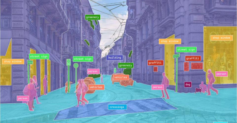
Our dedicated team of mappers uses proprietary field survey devices and smartphones to collect high-frequency sequences of optical and sensor data. Applying our proprietary Computer Vision algorithms, we extract valuable information on customer behavior, consumer goods, public spaces, and built environments.
Earth
Observation
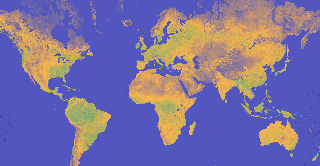
We use Earth Observation data and advanced AI methods to develop customized services and solutions for emergency management, spatial planning, environmental monitoring and humanitarian aid, and generate information on land consumption, consumer spending, patrimonial wealth, technological readiness, and more.
Mobility
analysis
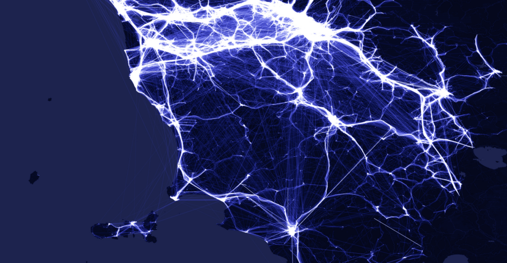
We map flows of movements at local and global scales based on the analysis of anonymized and aggregated location data from mobile applications. By combining this information with Open Data, we generate a range of location-based analytics on human flows and Points of Interest, and monitor the impact of new infrastructure, plans and policies or disasters on mobility behaviour.
OUR CROWD
Meet our mappers



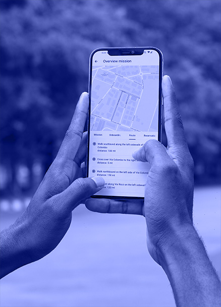
MindEarth relies on a community of mappers active in major world cities to easily and quickly gather streams of data through our proprietary survey devices or directly on their smartphone using the MindView app.
Discover our solutions

Government and
Public sector

Humanitarian and
Development

Mobility and
Transport
Real Estate
and Construction

Retail and Merchandising

Consumer
Insight Analytics
SECURITY & PRIVACY
Privacy by Design. Security by Default.
MindEarth is committed to maintaining the highest standards of privacy and security along every step of the data journey, implementing strong measures to ensure full protection.


