BEE-AI: Building Energy Efficiency with Artificial Intelligence
A multi-modal Machine Learning approach to estimate Building Energy Performance and retrofitting potential from Street-level & Earth Observation data
Overview
Funded by the European Space Agency (ESA), the BEE-AI project harnesses AI to merge street-level and satellite data, offering novel insights into building energy efficiency and retrofitting potential.
BEE-AI represents a pivotal step towards realizing the ambitions of the EU Green Deal, focusing on revolutionizing the estimation of building energy performance and retrofitting potential across Europe. The project aims to enrich existing energy certification processes by offering a comprehensive view of urban energy efficiency at the level of individual buildings. This endeavor supports smarter, sustainable urban planning, setting new benchmarks in the understanding and enhancement of the built environment.
EU Green Deal Building Sector Objectives for 2030
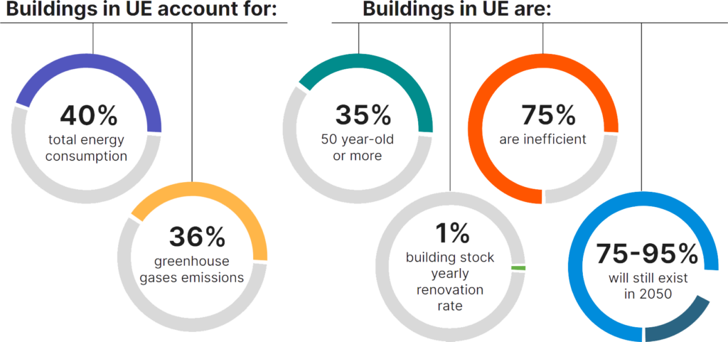
The EU Green Deal sets ambitious goals to enhance energy efficiency within the building sector, contributing significantly to achieving the EU’s energy and climate targets. Through initiatives like the Energy Performance of Buildings Directive and the Renovation Wave Strategy, the EU aims to improve the energy performance of buildings, advocate for nearly zero-energy buildings by 2030, and double renovation rates to reduce emissions and create green jobs
97% of buildings in the EU need to be upgraded
to meet the 2050 EU Green Deal vision for decarbonisation.
Enhancing the energy efficiency of buildings is one of the most effective strategies for reducing overall energy consumption and, by extension, greenhouse gas emissions within EU cities. This is vital for meeting the EU’s decarbonization targets and transitioning to a more sustainable and resilient economy.
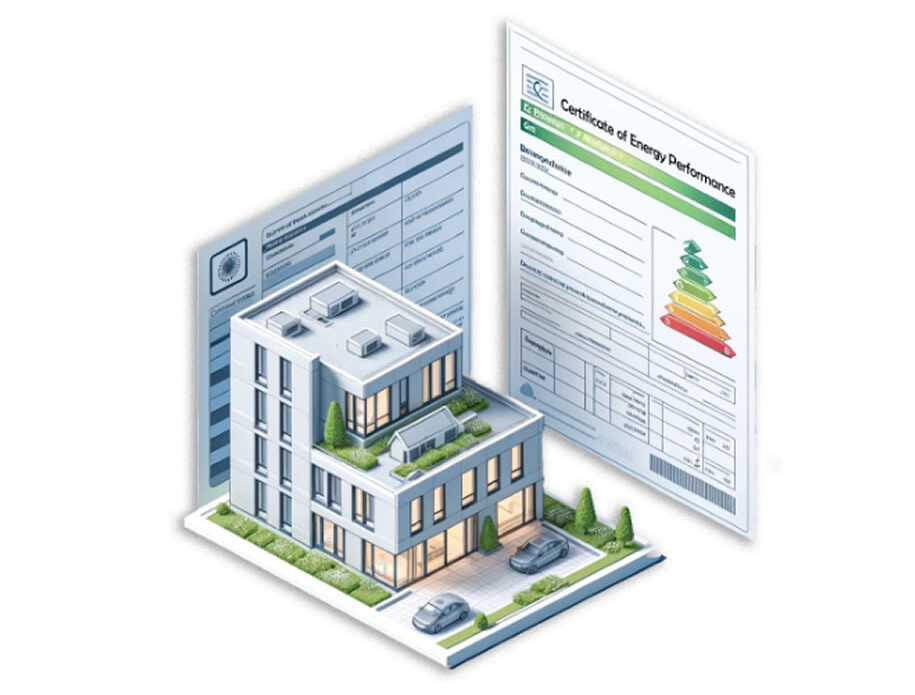
BEE.AI harnesses the power of Artificial Intelligence (AI) to integrate a diverse array of data sources, including street-level optical and thermal imagery, air- and satellite-borne high-resolution visuals, urban morphology metrics, and publicly available Energy Performance Certificates (EPC) databases.
This rich dataset allows BEE.AI to map the energy efficiency levels of individual buildings, classifying them from “A” (most efficient) to “G” (least efficient).
Street-level photo imagery
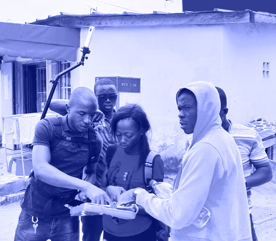
Relying on the MindEarth app, users with smartphones are empowered to capture streams of street-level imagery and upload photos as they walk through urban areas.
Utilizing the device’s camera and GPS, the app ensures each image is accurately geotagged. It also features automatic privacy protections, such as blurring faces and license plates, to comply with privacy laws.
This community-driven approach not only enriches data collection with extensive geographic coverage but also engages citizens directly in contributing to urban and environmental projects.
Street-level thermal imagery
The MindEarth app will also be installed on smartphones with built-in FLIR cameras, like the CAT S62 Pro.
Its thermal imagery, with a resolution of 160×120 pixels, can be either blended with visual images from the device’s 12MP camera or enhanced with FLIR’s MSX technology for better context and understanding.
Thermal imagery efforts are aimed at identifying buidling heat losses and thermal defects visibles on the facade.
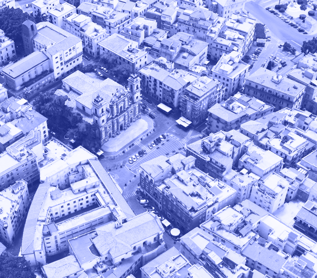
Very High Resolution satellite imagery
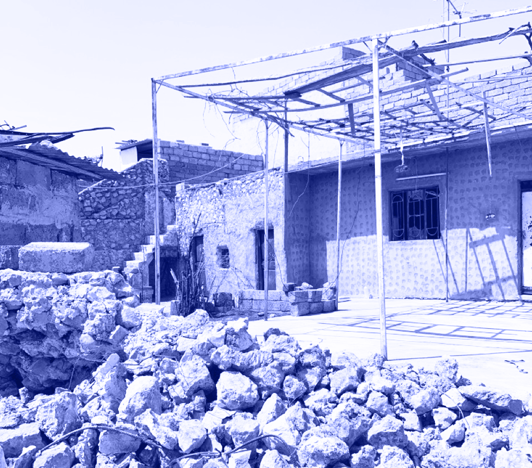
The use of very high-resolution (VHR) satellite Visible Near-Infrared (VNIR) imagery, alongside airborne orthophotos offer detailed insights into rooftop characteristics, which are essential for evaluating a building’s energy performance.
This involves the assessment of solar panel installations, roof materials, state of the roof, roof geometry and design, and presence of any vegetation coverage.
All these features impact on energy conservation and the building’s ability to manage heat and water.
Ancillary Geospatial data layers
Bee-AI taps into authoritative public access data provided by national geoportals, to gather detailed information on building outlines, morphology, land use destination, height, age, and more.
These details are invaluable; they help us understand how different factors like a building’s design, construction era, and function impact its energy consumption and efficiency, making estimates and predictions more reliable, accuate and explainable
Engaging with key end users from across EU
A number of workshops will take place in Copenhagen, Vienna, and Milan in collaboration with our key end users—Immobiliare.it Insights from Italy, KAB from Denmark, Obenauf, the City of Vienna, and the City of Klagenfurt in Austria. The aim is to co-create solutions that are both aligned with user needs and viable in the marketplace.
These workshops are conducted in partnership with RenoWave.AT, Austria’s premier innovation hub dedicated to fostering climate-neutral renovations of buildings and neighborhoods. Their Innovation Labs will gather experts and stakeholders from the realms of real estate, urban planning, and construction.


")