SupR-NTL: Super-Resolution Nighttime Light for Sustainable Development

Harnessing Local Knowledge and AI for Sustainable Development in African Cities to empower sustainable development and informed decision-making.
Community-based cartography & EO for Urban Resilience
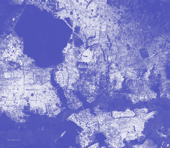
Harnessing Local Knowledge and AI for Sustainable Development in African Cities to empower sustainable development and informed decision-making.
Mapping the impact of armed conflict through Earth Observation
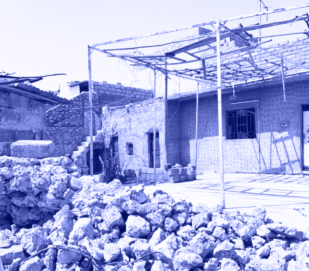
Mapping demographic shifts and building disruptions caused by protracted armed conflict in Tel-Afar city, Iraq
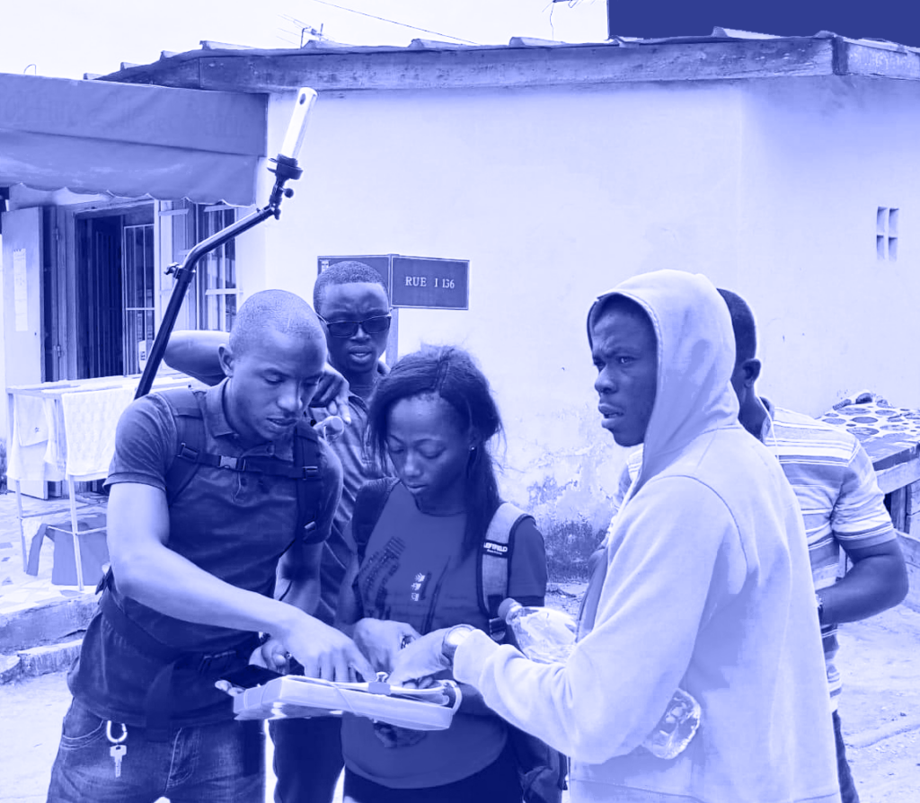
Community mapping with street-level photo survey and computer vision
Harnessing Local Knowledge and AI for Sustainable Development in African Cities to empower sustainable development and informed decision-making.