Humanitarian and Development

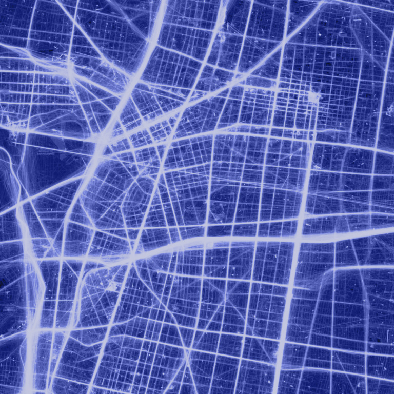
We develop advanced geospatial intelligence to help local and national public agencies gather actionable information in data-sparse regions and crisis-affected areas. Our insights enable reliable monitoring of conflict, population displacement, disaster exposure, vulnerability and deprivation mapping.

Participatory Mapping of Spatial Assets and Land Use

We collaborate with local communities to collect information on urban assets, from buildings and roads to roadside objects, creating comprehensive inventories that document the conditions and quality of the built environment for planning and management.

Disaster Risk Exposure and Vulnerability

We measure climate and environmental variables at Earth's surface and in the atmosphere to monitor and forecast changes in weather and climate, along with their impact on populations and ecosystems.

Emergency and Disaster Response Appraisal

We provide critical information during emergency events to ensure situational awareness for disaster response and post-disaster recovery, and to preemptively quantify impacts of critical events, supporting preparedness.

Post-Disaster Damage Assessment

We create fully explorable urban and regional digital twin models to monitor urban and territorial assets and develop scenarios by combining street-level images, satellite data, mobility records and thematic data.

Case studies

Disaster Resilience through Smarphone Location Data

Mapping human behaviour and infrastructure resilience before and after natural disasters using High-Frequency Location-Based data

Other Sectors

CONTACT US

Want to see MindEarth in action?

Book a demo or consultation today and discover how our geospatial intelligence solutions can help your organisation make better decisions.