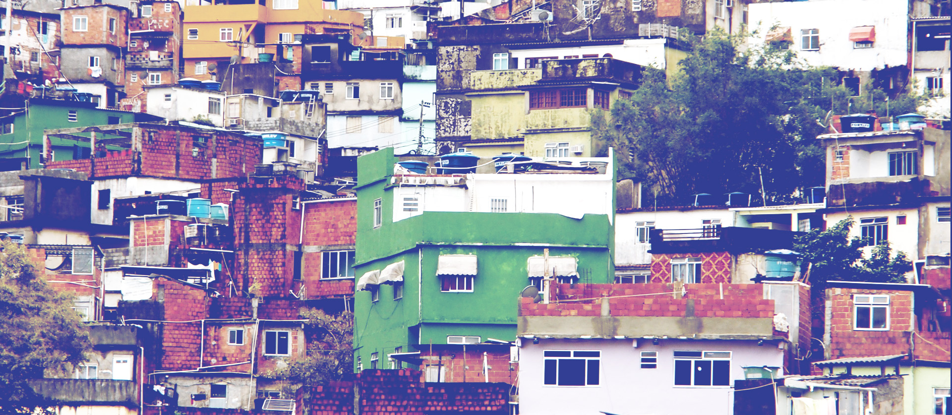
We develop advanced geospatial intelligence to help local and national public agencies gathering actionable information in data-sparse regions of the world and crisis-affected areas. Our insights allow reliable monitoring of conflict and population displacement, disaster exposure and vulnerability and map deprivation.
Participatory mapping of spatial assets and land use
We team up with local communities to collect information on various urban assets, from buildings to roads and roadside objects to create rich inventories documenting conditions and quality of the built environment for planning and management.
Disaster risk exposure and vulnerability
We measure climate and enviromental variables at Earth's surface and above to monitor and forecast changes in the weather and climate along with their impact on populations and ecosystems.
Emergency and disaster response appraisal
We supply critical information in emergency events to ensure situational awareness through disaster response and post-disaster recovery or to help pre-emptively quantify impacts of critial events, supporting preparedness.
Post-disaster damage assessment
We produce fully explorable urban and regional digital twin models from which to monitor urban and territorial assets and develop scenarios by combining street-level images, satellite data, mobility records and thematic data.
Case studies
Disaster Resilience through Smarphone Location Data
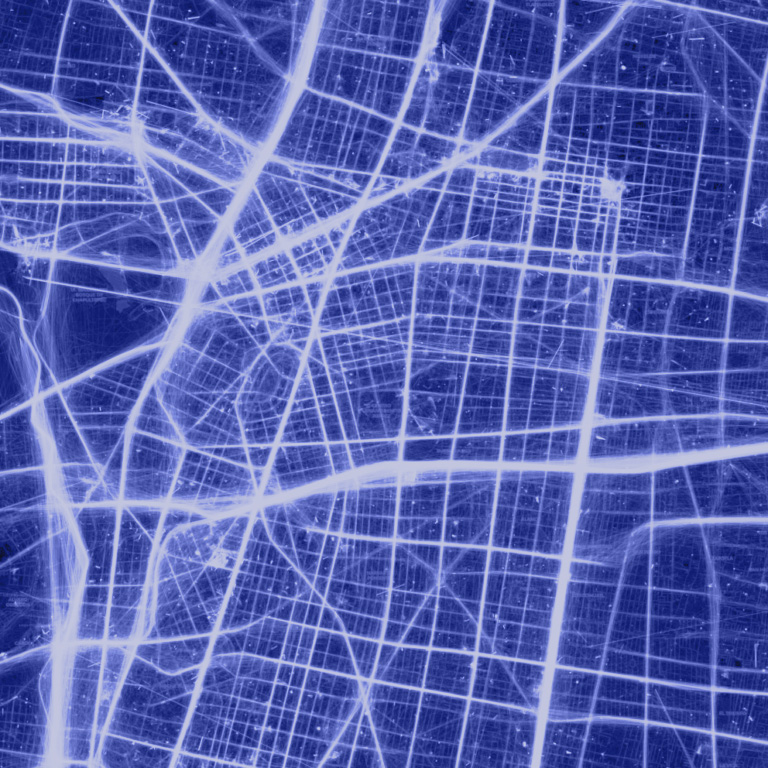
Mapping human behaviour and infrastructure resilience before and after natural disasters using High-Frequency Location-Based data
Other sectors

Government and
Public sector
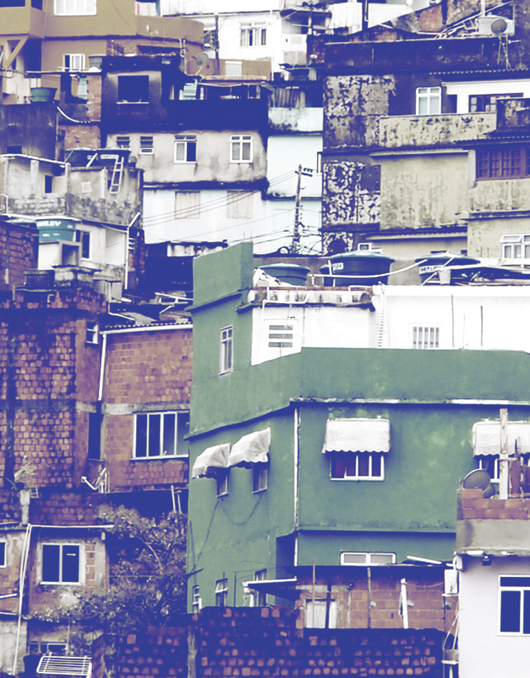
Humanitarian and
Development

Mobility and
Transport
Real Estate
and Construction

Retail and Merchandising


