AI-Driven Insights for Sustainable Urban Growth and Climate Resilience
Overview
Cities are evolving rapidly, shaped by rapid
, growing mobility demands and rising environmental pressures.
Understanding and anticipating how these dynamics interact is essential for designing strategies that ensure both livability and urban resilience.
Artificial intelligence and latest technological advances in Earth Observation are opening new possibilities for forecasting urban growth and simulate its impacts on mobility, thermal comfort, and air quality.
Funded by the European Space Agency (ESA), the CITYNEXT project develops an AI-driven system to predict urban growth and simulate related mobility patterns, along with their effects on urban and air quality. Led by MindEarth in collaboration with VITO and the University of Twente (ITC), the project integrates Earth Observation data, mobility information and advanced modelling to generate forecasts over a 10-year horizon. The proposed solution aims to support urban planners and agencies with forward-looking insights, helping them reduce risks, evaluate scenarios in advance, and design pathways toward sustainable and resilient urban development.
Key data and models
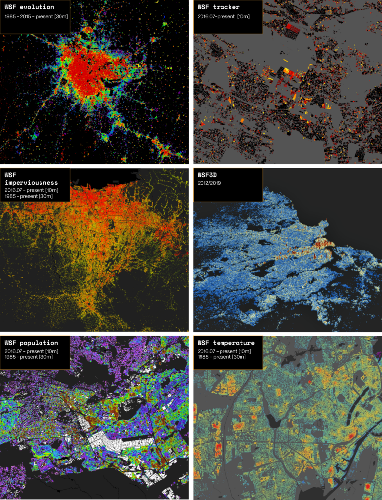
CITYNEXT leverages a wide range of Earth Observation datasets to capture both the long-term evolution of cities and fine-grained details of their structure. High-resolution imagery from Sentinel-2 provides detailed perspectives on land cover and urban change, while the World Settlement Footprint (WSF) and Digital Elevation Models (DEMs) add relevant information on human settlements evolution and topography respectively. These data are enriched derived spectral indices as well as High-Frequency Location-Based Mobility data records, creating a robust foundation for analysing the drivers and impacts of urban growth.
This datasets are the baseline of CITYNEXT framework which involves the development of five models, each designed to address distinct dimensions of urban dynamics. The Urban Growth Model is at the core, forecasting how cities will expand over a 10-year horizon.The Human Mobility Model then simulates traffic patterns, while the Building Height Model estimates urban density and population distribution. Environmental impacts are addressed through the UrbClim Model, which allows for heat stress analysis, and the Air Quality Model for simulating pollutants concentration.
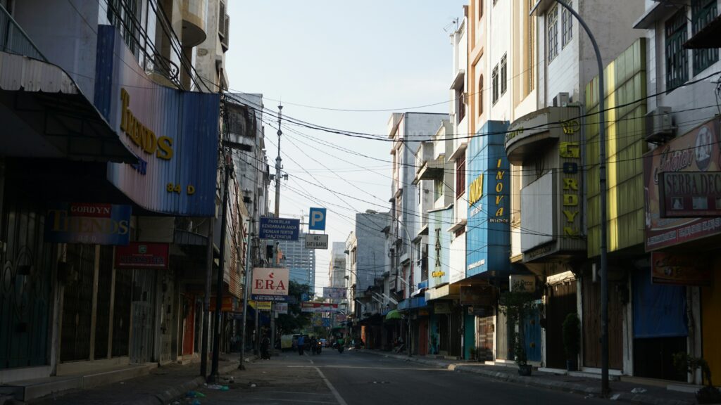
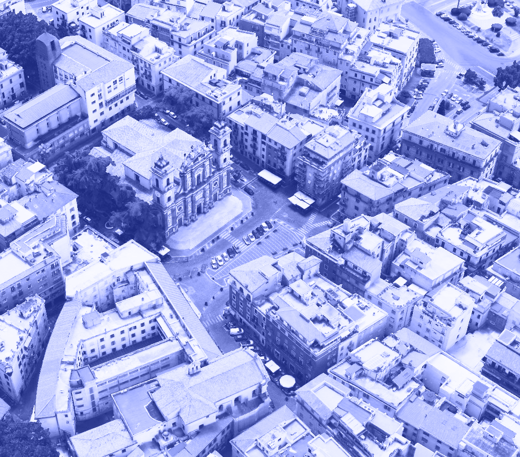
CITYNEXT will be demonstrated in three pilot cities — Warsaw, Medan, and Johannesburg — selected to address diverse urban dynamics across different regions. These cities differ in terms of size, growth patterns, governance structures and environmental pressures, providing a representative setting for testing the models under contrasting conditions.
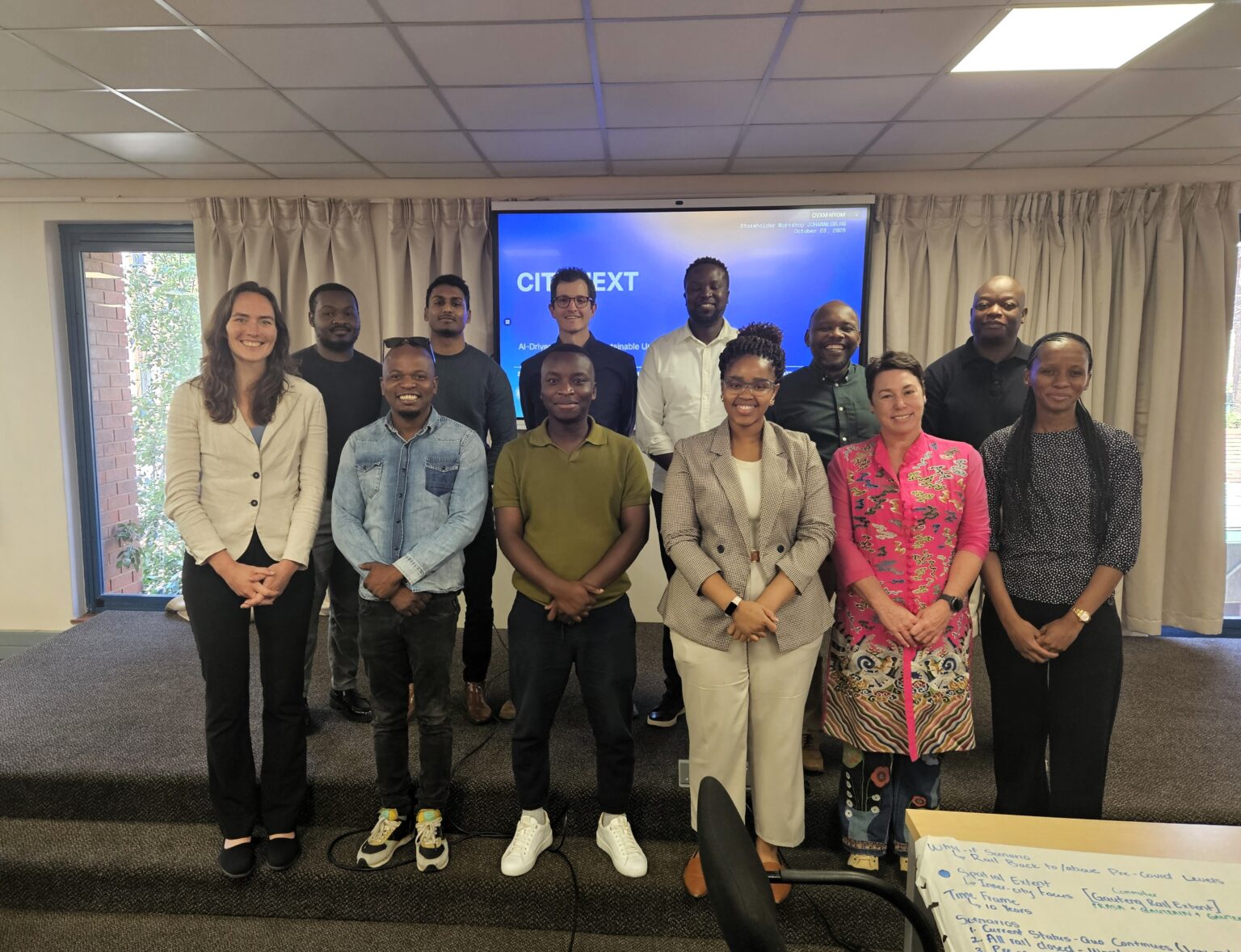
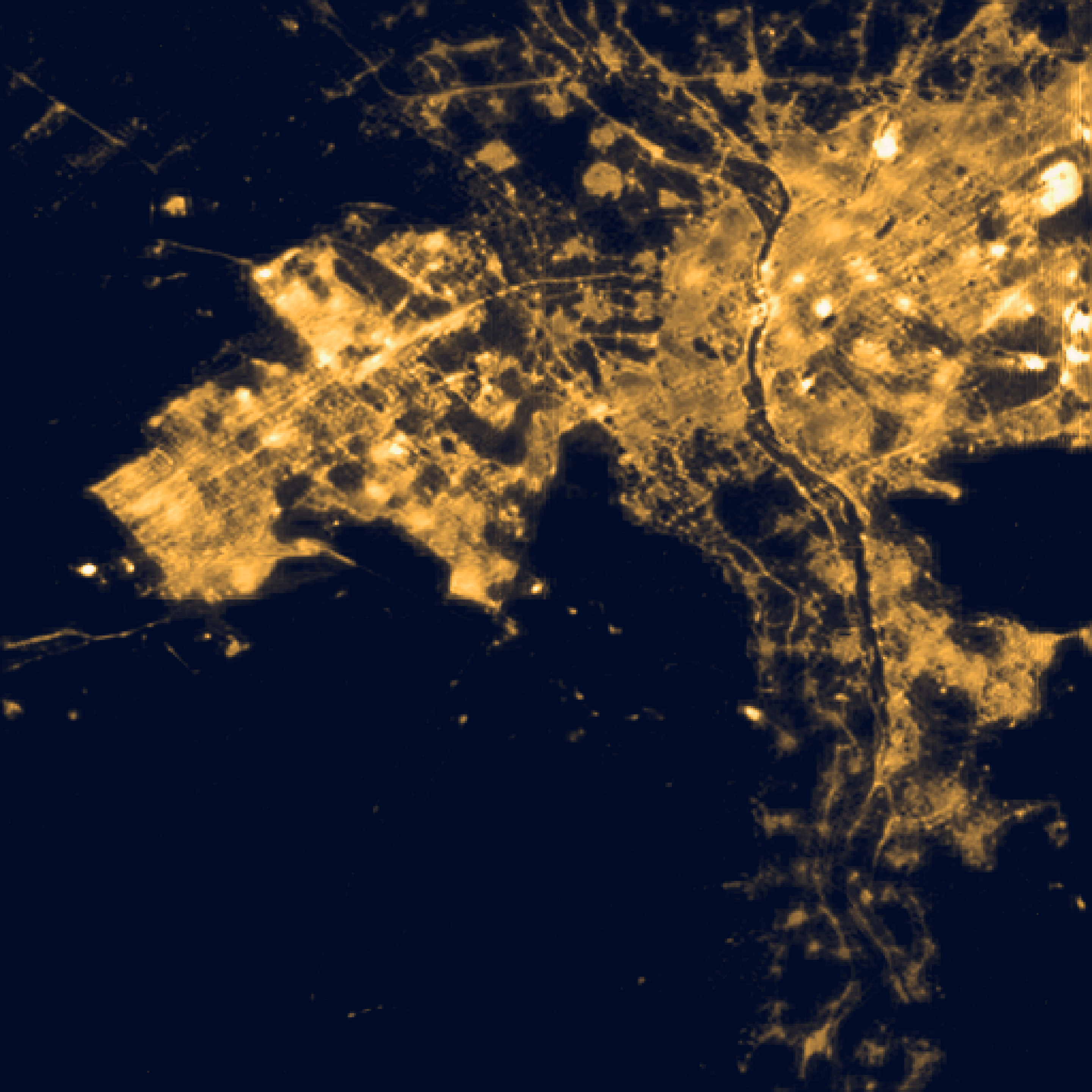
Johannesburg, South Africa
Warsaw, Poland
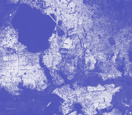
Medan, Indonesia
What-If Scenarios
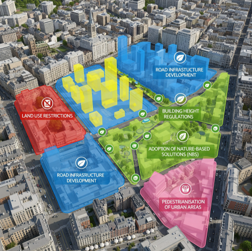
A key feature of CITYNEXT is the “what-if” scenarios, as they play a crucial role in assessing the potential impacts of urban planning policies and interventions.
They are designed to simulate and predict the outcomes of specific interventions to the urban environment, including: land use restrictions, road infrastructure development, building height regulations, adoption of Nature Based Solutions (NBS), and pedestrianisation of urban areas, while dynamically adjusting their impacts on mobility patterns and air quality.
CITYNEXT offers an innovative and comprehensive tool to help cities plan for future urban growth, manage infrastructure demands, and address environmental challenges in a sustainable and resilient manner. The “what-if” scenarios will be co-created and evaluated with end-users, ensuring alignment with real and current needs while fostering innovative approaches for future urban development.
Stakeholder engagement
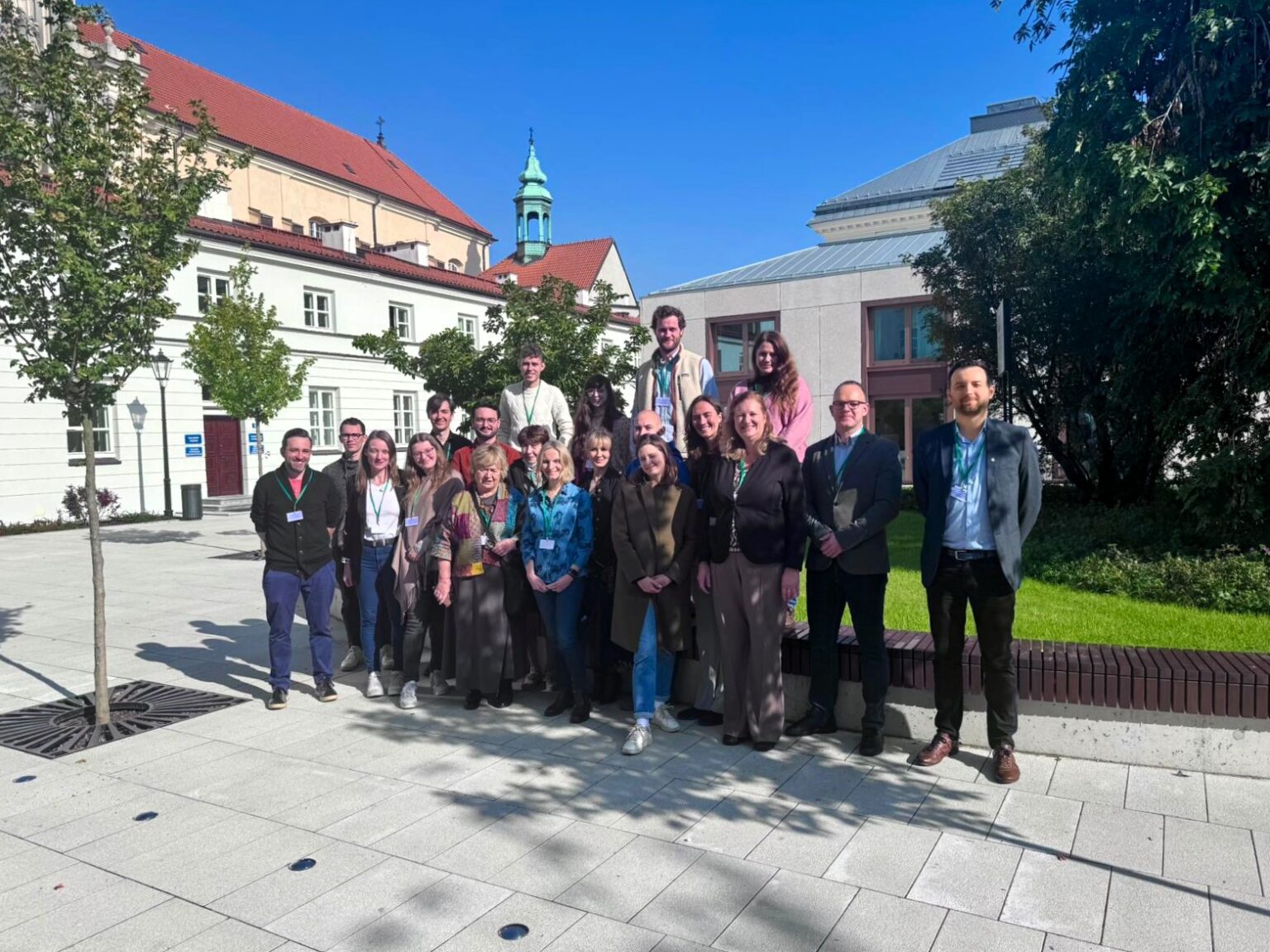
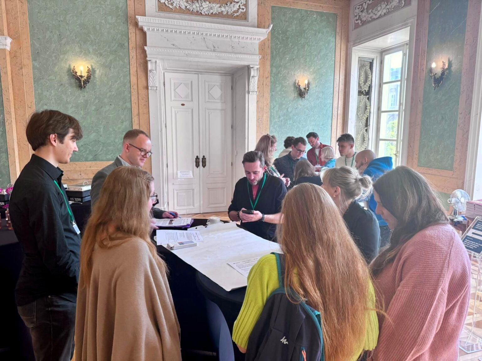
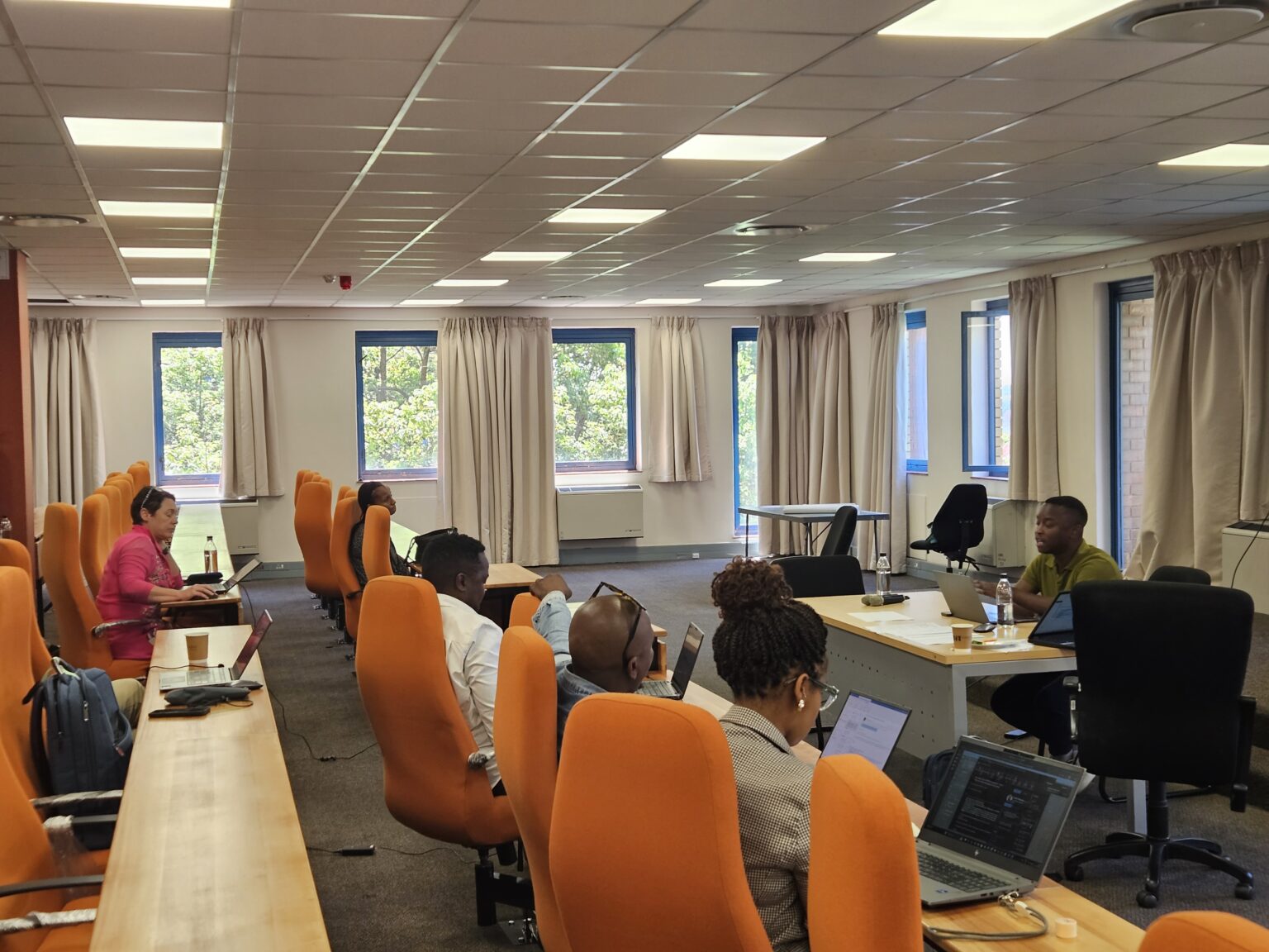
An essential part of CITYNEXT is the active involvement of stakeholders throughout the project. A series of workshops scheduled for the last trimester of 2025 —Warsaw on October 8th, Johannesburg on October 23rd, and Medan on December 3rd—, will bring together urban planners, policymakers, researchers and end users from the three pilot cities.
The purpose of these workshops is to work directly with stakeholders for identifying target areas for analysis, and capturing expectations and priorities for the definition “what-if” scenarios. Through this process, the project ensures that the models and simulations are grounded in real planning contexts and aligned with local decision-making challenges.
CITYNEXT in the Spotlight
CITYNEXT team has been active at international conferences and workshops, connecting with experts and showcasing its work. Highlights from 2025 include:
Living Planet Symposium, Vienna (June) – Science4Society booth (ESA)
Workshop at the Dutch Embassy, Jakarta (July) – Digital data and climate simulations
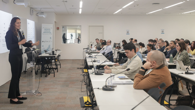
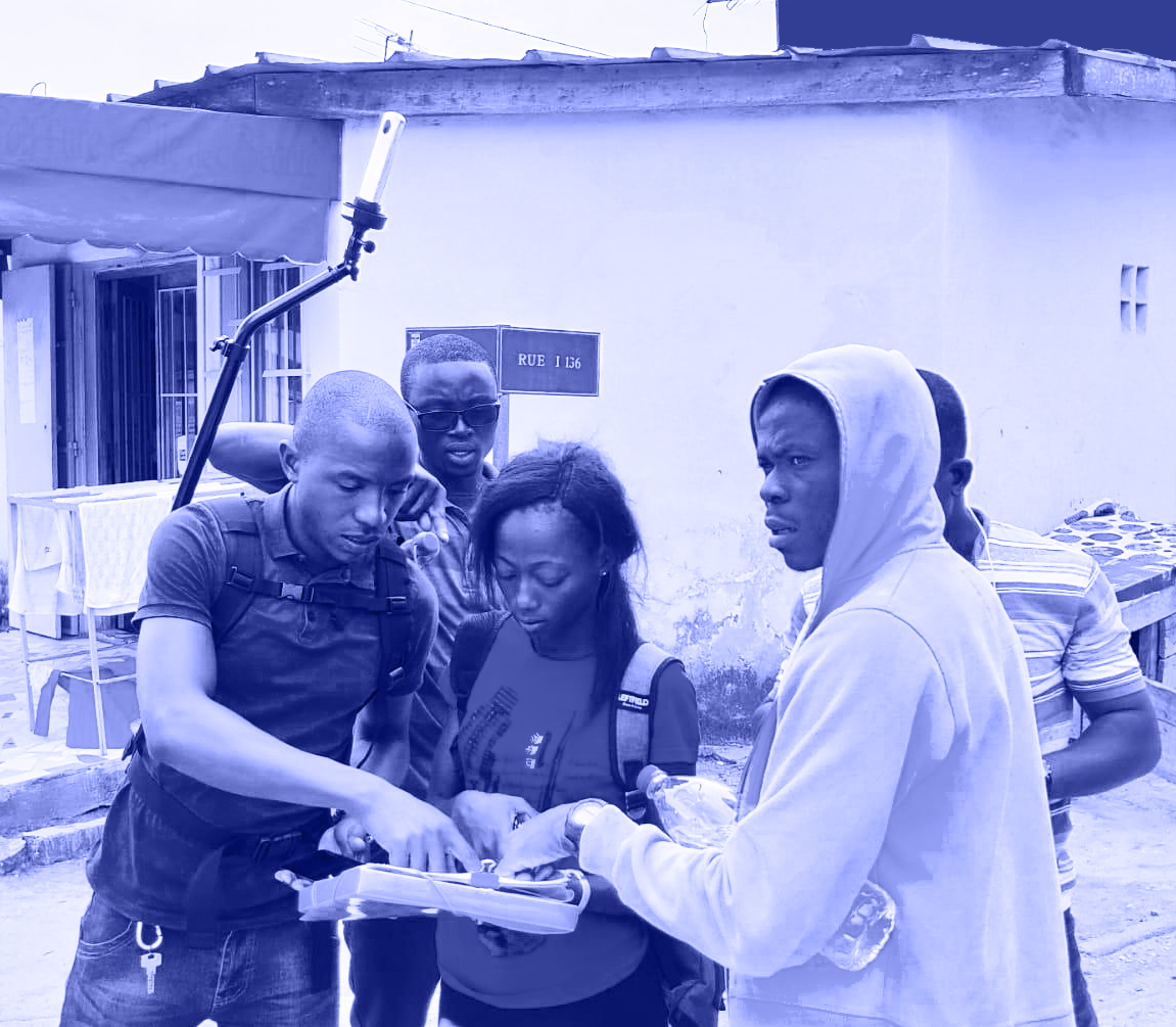
15th Annual Workshop on Survey Methodology, São Paulo (August) – Innovative geospatial technologies and data collection methods
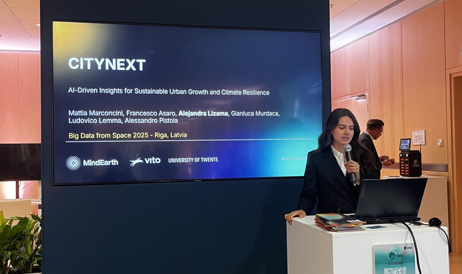
Big Data from Space, Riga (October) – ESA/SatCen/JRC booth